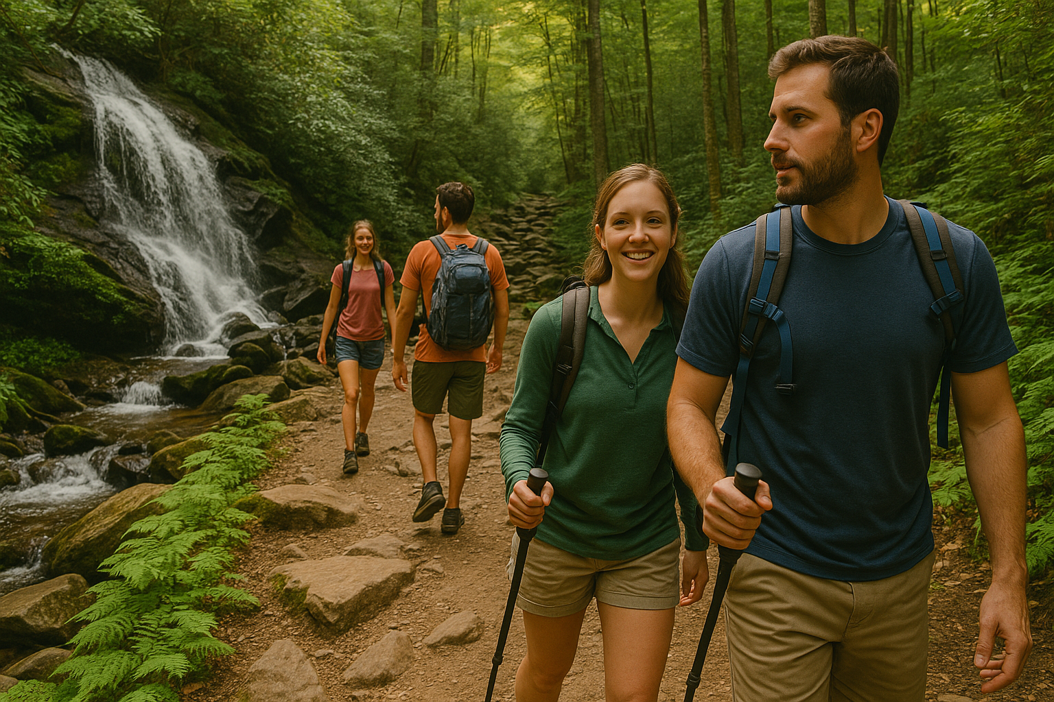
The Great Smoky Mountains National Park is a hiker’s paradise, boasting over 800 miles of trails that range from short scenic strolls to rugged mountain climbs. Whether you’re a first-time visitor looking for a gentle introduction to nature or a seasoned adventurer seeking a challenge, there’s a trail for you.
This guide breaks down 12 of the best hiking trails in the Smokies by difficulty level—easy, moderate, and strenuous—so you can find the right adventure for your next visit.
Easy Trails
1. Laurel Falls Trail
Distance: 2.6 miles round trip
Elevation Gain: ~400 feet
Trailhead: Little River Road near Sugarlands Visitor Center
This paved trail is one of the most popular in the park, and for good reason. It leads to an 80-foot, two-tiered waterfall that makes for perfect family photos. It’s ideal for beginners, families with strollers, and anyone looking for a quick but rewarding hike.
Tip: Arrive early to avoid heavy crowds and limited parking.
2. Gatlinburg Trail
Distance: 3.8 miles round trip
Elevation Gain: Minimal
Trailhead: Sugarlands Visitor Center or Gatlinburg entrance
This flat riverside trail is one of the few in the park that allows dogs and bicycles. It features footbridges, views of the Little Pigeon River, and remnants of old homesteads. It’s a relaxing option for walkers and nature photographers.
3. Elkmont Nature Trail
Distance: 0.8 miles loop
Elevation Gain: Minimal
Trailhead: Elkmont Campground area
This short interpretive loop is great for kids or anyone looking for a peaceful stroll through mossy forest and along a quiet stream. Educational signage provides insight into the area’s ecology and history.
Moderate Trails
4. Alum Cave Trail to Alum Cave Bluffs
Distance: 4.6 miles round trip
Elevation Gain: ~1,200 feet
Trailhead: Newfound Gap Road
This iconic hike includes wooden staircases, Arch Rock, and the striking Alum Cave Bluffs. It’s a steady climb but very doable for most hikers with a basic level of fitness. Beyond the bluffs, the trail continues to Mount LeConte (a strenuous option).
Tip: Wear shoes with good grip—portions can be wet and rocky.
5. Grotto Falls Trail (via Trillium Gap)
Distance: 2.6 miles round trip
Elevation Gain: ~585 feet
Trailhead: Roaring Fork Motor Nature Trail
This is the only waterfall in the park that you can walk behind. Shaded and moderately easy, it’s a family favorite and also used by llama trains carrying supplies to Mount LeConte Lodge.
6. Porters Creek Trail
Distance: 4 miles round trip
Elevation Gain: ~700 feet
Trailhead: Greenbrier area
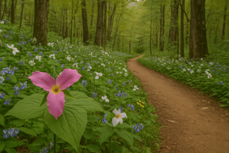
This peaceful trail offers spring wildflowers, historic structures, and a lovely cascading stream. It’s less trafficked and great for those seeking serenity with a touch of history.
7. Andrews Bald
Distance: 3.5 miles round trip
Elevation Gain: ~900 feet
Trailhead: Clingmans Dome parking area
A relatively short hike with a moderate climb, Andrews Bald opens into a scenic meadow—an Appalachian bald—with sweeping views. It’s especially stunning in summer when rhododendrons are in bloom.
Strenuous Trails
8. Chimney Tops Trail
Distance: 3.6 miles round trip
Elevation Gain: ~1,400 feet
Trailhead: Newfound Gap Road
This trail is short but very steep, making it a lung-burner for even experienced hikers. After a wildfire in 2016, the summit was closed, but a new observation area provides safe, rewarding views.
Tip: Bring trekking poles if you have knee issues.
9. Rainbow Falls Trail
Distance: 5.4 miles round trip
Elevation Gain: ~1,500 feet
Trailhead: Cherokee Orchard Road
The 80-foot Rainbow Falls is the tallest single-drop waterfall in the park. The trail is rocky and has a steady incline, making it a great workout with a photogenic payoff.
10. Charlies Bunion (via Appalachian Trail)
Distance: 8 miles round trip
Elevation Gain: ~1,600 feet
Trailhead: Newfound Gap
This hike offers panoramic views and a chance to hike a portion of the Appalachian Trail. The final rocky outcrop—Charlies Bunion—rewards you with some of the best scenery in the park.
Tip: Ideal for experienced hikers with stamina.
11. Mount LeConte (via Alum Cave Trail)
Distance: 11 miles round trip
Elevation Gain: ~2,700 feet
Trailhead: Newfound Gap Road
One of the most beloved long hikes in the Smokies. You’ll pass Alum Cave Bluffs and ascend to the summit of Mount LeConte. There’s even a rustic lodge at the top where you can spend the night if you book well in advance.
12. Gregory Bald
Distance: 11.3 miles round trip
Elevation Gain: ~3,000 feet
Trailhead: Parson Branch Road (seasonal)
A challenging climb leads to one of the most stunning balds in the Smokies, known for its flame azalea blooms in June. The views from the top are wide and unobstructed, making the effort worthwhile.
Note: Access road is seasonal—check before you go.
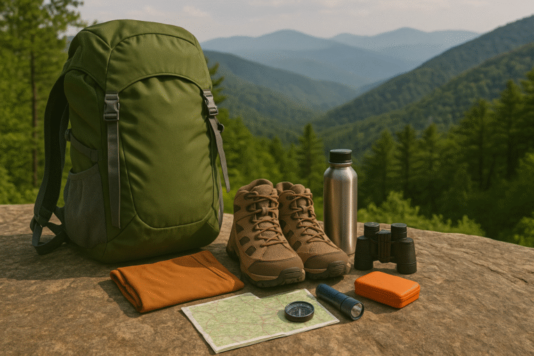
Final Tips for Trail Success
- Start early to beat crowds and afternoon storms
- Bring plenty of water and trail snacks
- Wear layered clothing—weather changes quickly in the mountains
- Check the official park website for closures and trail conditions
- Leave no trace—pack out everything you bring in
Whether you’re chasing waterfalls, hiking ridgelines, or wandering through quiet woods, the Smokies offer trails that match your ability and interest. Explore at your own pace, and let the mountains work their magic.